
In the U.S., shipping zones are carrier-defined distance bands, numbered Zone 1 through Zone 9, that determine how much you pay and how long a package takes to arrive. USPS, UPS, and FedEx all use them to price parcels. The farther the zone, the higher the cost and the longer the transit time, which makes your average zone a real lever on margin.
TL;DR:
- Shipping zones are based on distance bands that significantly impact both cost and transit time, with longer zones often increasing shipping expenses by multiple times.
- USPS calculates zones using fixed grid points and outdated SCF data, while UPS and FedEx rely on predefined origin-destination matrices, leading to occasional errors.
- Reducing average shipping zones through multiple fulfillment centers, zone-skipping, or package optimization can lower costs but requires careful analysis of order volume and SKU performance.
- Carrier-specific zone lookup tools are necessary because USPS, UPS, and FedEx may assign different zones for the same ZIP codes, affecting rate comparisons.
- Monitoring and managing average zone as a key performance indicator helps brands avoid hidden shipping costs that can erode margins across national or regional deliveries.
Table of Contents
- How Do U.S. Carriers Calculate Shipping Zones?
- What Do Zone 1 Through Zone 9 Actually Mean?
- How Do Zones, Weight, and Surcharges Combine to Set Price?
- How Do You Look Up a Shipping Zone for Any Shipment?
- How Can You Reduce Your Average Shipping Zone?
- How Does a 3PL Actually Operationalize Zone Optimization?
- Why Average Zone Deserves a Spot on Your KPI Dashboard
- Get Help Managing Zones and Fulfillment Costs
- Sources
- FAQ
How Do U.S. Carriers Calculate Shipping Zones?
USPS calculates a zone by comparing the first three digits of the origin ZIP code to the destination ZIP code, then mapping both to their Sectional Center Facility, or SCF. Each SCF sits inside a fixed grid area, and USPS measures the distance between grid centerpoints on a 30-minute square grid to assign a zone, a method documented in the USPS DMM zone rules. There are roughly 195 SCFs nationwide feeding this system.

UPS and FedEx take a different approach. Instead of centerpoint math, they build origin-destination matrices: a fixed zone assigned to every ZIP-to-ZIP pair, published in downloadable UPS zone charts.
Neither system is flawless. A USPS Office of Inspector General audit found incorrect postage on 21,570 ZIP pairs, about 2.6% of those tested, tracing the errors to:
- Outdated SCF coordinates that hadn’t been refreshed after facility changes
- Labeling list mismatches between ZIP codes and their assigned SCF
- Methodology gaps the OIG recommended USPS fix directly
If a lane’s zone jumps unexpectedly, this is often why.
What Do Zone 1 Through Zone 9 Actually Mean?
Zone numbers map to rough distance bands, not exact road mileage. Carriers measure straight-line distance between grid points, so two ZIP pairs the same highway-miles apart can land in different zones.
Here’s the typical breakdown for continental U.S. shipments, based on USPS zone definitions:
- Zone 1: roughly 1 to 50 miles, next-day or 2-day ground in most cases
- Zone 2: roughly 51 to 150 miles
- Zone 3: roughly 151 to 300 miles
- Zone 4: roughly 301 to 600 miles
- Zone 5: roughly 601 to 1,000 miles
- Zone 6: roughly 1,001 to 1,400 miles
- Zone 7: roughly 1,401 to 1,800 miles
- Zone 8: 1,801 miles and up, coast-to-coast territory
- Zone 9: Alaska, Hawaii, U.S. territories, and APO/FPO military addresses, regardless of straight-line distance
Transit time tracks the same curve: Zone 1 and 2 shipments typically move in 1 to 2 days by ground, while Zone 7 and 8 shipments often run 4 to 5 days. Treat these as planning ranges, not guarantees, since carrier network congestion and weather shift actual delivery windows.
How Do Zones, Weight, and Surcharges Combine to Set Price?
Zone is only one input in your shipping rate. Dimensional weight, known as DIM weight, often matters more than actual weight once a box gets bulky. Carriers calculate DIM by multiplying length by width by height and dividing by a divisor factor, then bill whichever number is higher between DIM weight and actual weight. A large, lightweight box shipped long distance can cost far more than its scale would suggest.

Zone amplifies that effect. Industry comparisons show the same package can cost multiple times more moving from a close zone to a far zone, an increase driven by both the zone jump and the distance-weighted rate tables carriers apply to it, according to ReachShip’s analysis of zone-based pricing.
Surcharges stack on top of the base zone rate, and several of them scale with zone or lane type:
- Residential delivery surcharge, applied on top of the standard rate for home addresses
- Rural or extended-area surcharges, common on Zone 7 and 8 lanes to sparsely served regions
- Fuel surcharges, which fluctuate but tend to weigh more heavily on longer zones
- Additional handling fees for oversized or irregular packaging, regardless of zone
Statistic to watch: if your average order ships two zones farther than it needs to, and that lane also draws a residential surcharge, you could be paying a compounding penalty on nearly every order, not just the outliers. That’s the kind of leak that hides in aggregate freight spend until someone pulls the zone data apart.
How Do You Look Up a Shipping Zone for Any Shipment?
Finding your zone takes a few minutes once you know where to look.
- Start with the USPS Domestic Zone Chart. Enter your origin 3-digit ZIP and the destination 3-digit ZIP into the USPS Domestic Zone Chart tool, and it returns the exact zone for that lane.
- Check carrier-specific zone finders for UPS or FedEx. Their zones don’t always match USPS for the same ZIP pair, so pull the UPS daily rates and zone charts separately if you’re comparing carriers on the same lane.
- Use shipping software for bulk lookups. If you’re checking hundreds of lanes or automating rate shopping across a SKU catalog, a shipping platform that pulls zone data programmatically saves the manual entry entirely.
How Can You Reduce Your Average Shipping Zone?
Average zone is a number you can actually engineer down, and the fixes fall into a handful of categories.
- Add a second or third fulfillment node. Splitting inventory across East, Central, and West locations shrinks the average distance to your customer base, which directly lowers average zone across your order volume.
- Use zone-skipping, also called regional injection. Carriers or 3PLs consolidate freight and inject it deeper into the destination region before final-mile handoff, cutting the zone distance the last-mile carrier actually bills for.
- Match carrier to lane. The cheapest carrier for a Zone 2 shipment isn’t always the cheapest for Zone 8, so rate-shop by lane rather than defaulting to one carrier for everything.
- Optimize packaging to control DIM weight. Right-sizing boxes reduces the dimensional weight penalty that compounds with distance on longer zones.
- Run a SKU-level zone heat map. Combine cost-per-order by zone with SKU margin data to decide which products justify a second warehouse location and which don’t.
Pitney Bowes recommends simulating zone coverage with software before committing to a second location, since the fixed cost of a new node only pays off past a certain order volume.
Pro Tip: Pull your order history by destination ZIP and calculate your current average zone before you add a warehouse. If most of your volume already clusters in Zone 3 or lower, a second node may not move the needle much.
How Does a 3PL Actually Operationalize Zone Optimization?
A 3PL’s warehouse location sets your baseline average zone before you ship a single order. Same-day cutoffs matter here too: an order placed by 1 PM CST and shipped that day reaches a Zone 4 or 5 destination faster than an identical order held overnight, even with the same carrier.
When evaluating a 3PL, ask for:
- Average zone by SKU or by order, not just an aggregate number
- Same-day cutoff times and how consistently they’re met
- Which carriers the 3PL injects freight through, and at what zones
Why Average Zone Deserves a Spot on Your KPI Dashboard
Most DTC brands track shipping cost as a lump line item and miss the zone data buried inside it. That’s a mistake once you’re shipping nationally, because a brand selling from one coast to customers concentrated on the other is paying a structural Zone 7 to 8 tax on every order, whether anyone notices or not.
The harder question is when a second warehouse actually pays for itself. Splitting inventory lowers average zone, but it also doubles your SKU tracking complexity and forces harder calls about what to stock where. Get that balance wrong and you’ve traded shipping savings for inventory chaos, which is its own margin killer.
— Claudio Saenz
Get Help Managing Zones and Fulfillment Costs
A third-party logistics provider can handle the operational side of zone management that many small and mid-sized brands don’t have the headcount to build in-house. Same-day shipping cutoffs and live inventory access can help keep zone-driven transit times tight and provide visibility into product location before committing to additional warehouse nodes.
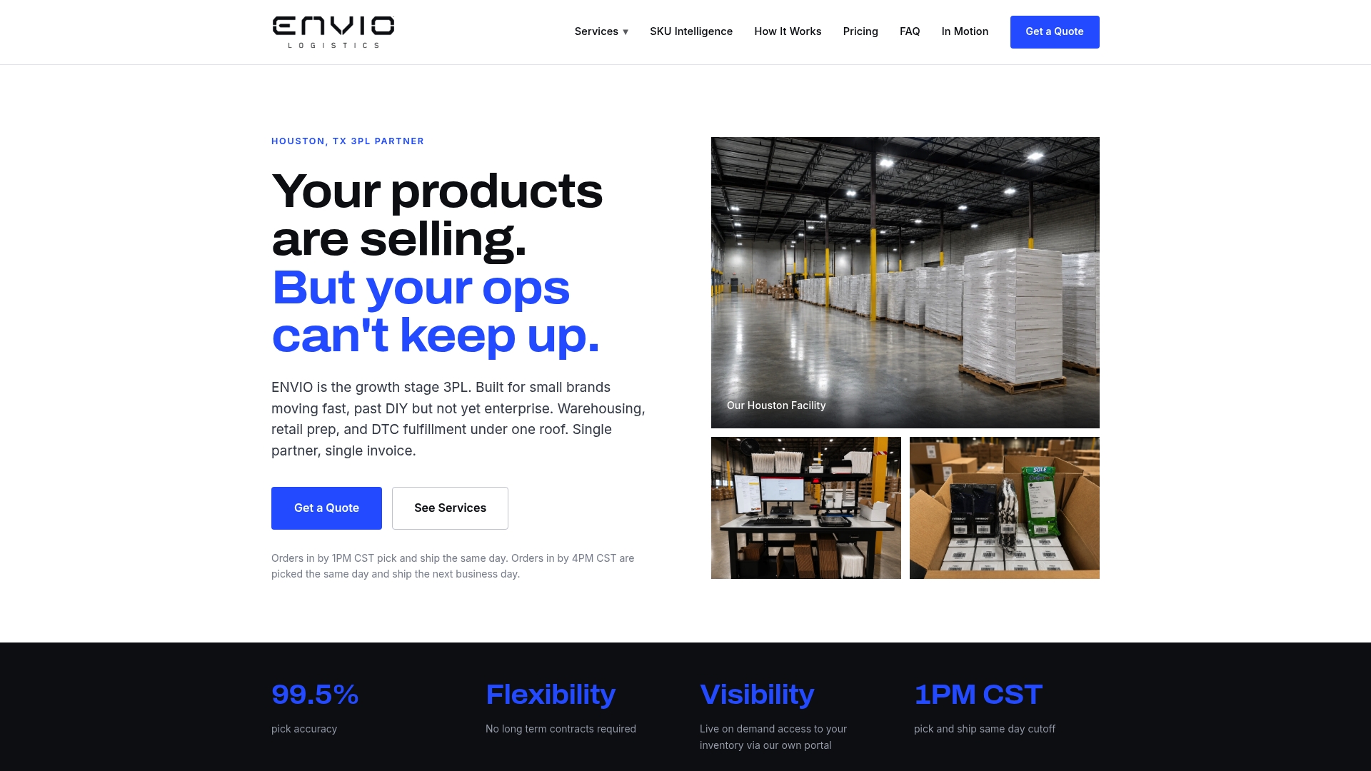
Beyond fulfillment, Envio Logistics, Inc runs SKU profitability analysis so you can see which products absorb zone-driven shipping costs well and which ones don’t, plus Amazon and Walmart prep for brands selling across multiple channels. Many 3PL providers offer services without requiring long-term contracts to start. If you’re ready to see how your current average zone compares to a smarter warehouse setup, request a quote through the Envio Logistics, Inc services page and send over your SKU count and shipping destinations for a real assessment.
Sources
- USPS Domestic Zone Chart
- USPS DMM — Postal Zones (G030)
- USPS OIG — Management of Postal Zones
- Pitney Bowes — Optimize shipping zones & reduce costs
- UPS — Daily rates and zone charts
FAQ
What Is USPS Zone 1, 2, 3, 4, or 5?
These are distance bands measured from the origin SCF to the destination SCF. Zone 1 covers roughly 1 to 50 miles, Zone 2 roughly 51 to 150 miles, Zone 3 roughly 151 to 300 miles, Zone 4 roughly 301 to 600 miles, and Zone 5 roughly 601 to 1,000 miles, according to USPS zone definitions.
What Is Zone D in Shipping?
Zone D isn’t a standard USPS or major carrier zone designation. Some regional carriers or shipping software use letter-based zone labels internally, so if you see “Zone D” on a rate sheet, check that specific carrier’s own documentation rather than assuming it maps to a numbered USPS zone.
What Is Zone 7 for USPS?
Zone 7 covers destinations roughly 1,401 to 1,800 miles from the origin SCF, per USPS zone guidance. Expect longer ground transit, typically 4 to 5 days, and higher base rates than Zone 5 or 6 shipments.
What Is Zone 8 in Shipping?
Zone 8 is the longest continental band, covering shipments over approximately 1,800 miles, essentially coast-to-coast lanes. It typically carries the highest base rates of the continental zones and the longest standard ground transit times, often several days depending on the carrier.
How Do I Find the Shipping Zone Between Two ZIP Codes?
Enter the origin and destination 3-digit ZIP codes into the USPS Domestic Zone Chart for USPS zones, or check UPS’s published zone charts for that carrier’s specific lane pricing, since zones can differ between carriers for the same ZIP pair.
0 comments